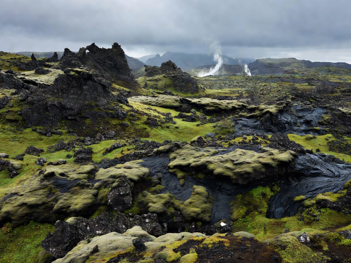
Route Overview & Volcanic Features
The Laugavegur Trail connects the geothermal hot springs of Landmannalaugar with the glacial valley of Þórsmörk (Thórsmörk). Recognized as one of the world's premier multi-day trekking paths, it showcases Iceland's dynamic raw geology where hot springs bubble adjacent to permanent snowfields.
Day-by-Day Expedition Breakdown
- Day 1: Landmannalaugar to Hrafntinnusker - 12 km climbing past steaming solfataras and jet-black obsidian stone fields.
- Day 2: Hrafntinnusker to Álftavatn - 12 km descending from snow-covered plateaus down to vibrant green valleys and mirror-like glacial lakes.
- Day 3: Álftavatn to Emstrur (Botnar) - 15 km traversing black volcanic sand deserts and crossing unbridged glacial torrents.
- Day 4: Emstrur to Þórsmörk Sanctuary - 15 km descending into Markarfljót canyon, finishing among birch forests beneath Eyjafjallajökull volcano.
Essential Safety & River Crossing Logistics
The Icelandic Highlands weather is notoriously fickle, capable of blizzard conditions even in mid-July. River wades require sturdy neoprene booties and trek poles. Huts and campsites must be reserved months in advance through Ferðafélag Íslands (FI).